The Canadian Rockies - a winter-spring trip
The Canadian Rockies make a part of the North American Rockies, which have multiple ranges of mountains. They formed as a result of the Sevier orogeny about 140 to 40 million years ago. Unlike the Rockies in the US, the Canadian Rockies are mostly sedimentary rocks. The highest peak in the Canadian Rockies is Mt. Robson (3,954 m). Because it’s cold there, the tree line is pretty low. More information about the Canadian Rockies can be found here.
Generally, winter and early spring are not the best time to visit the Canadian Rockies unless you want go skiing or skating. Lots of places and roads are closed due to heavy snow or avalanche risks. Weather could also be harsh. But Xin and I went anyway. Instead of skiing, we snowshoed.
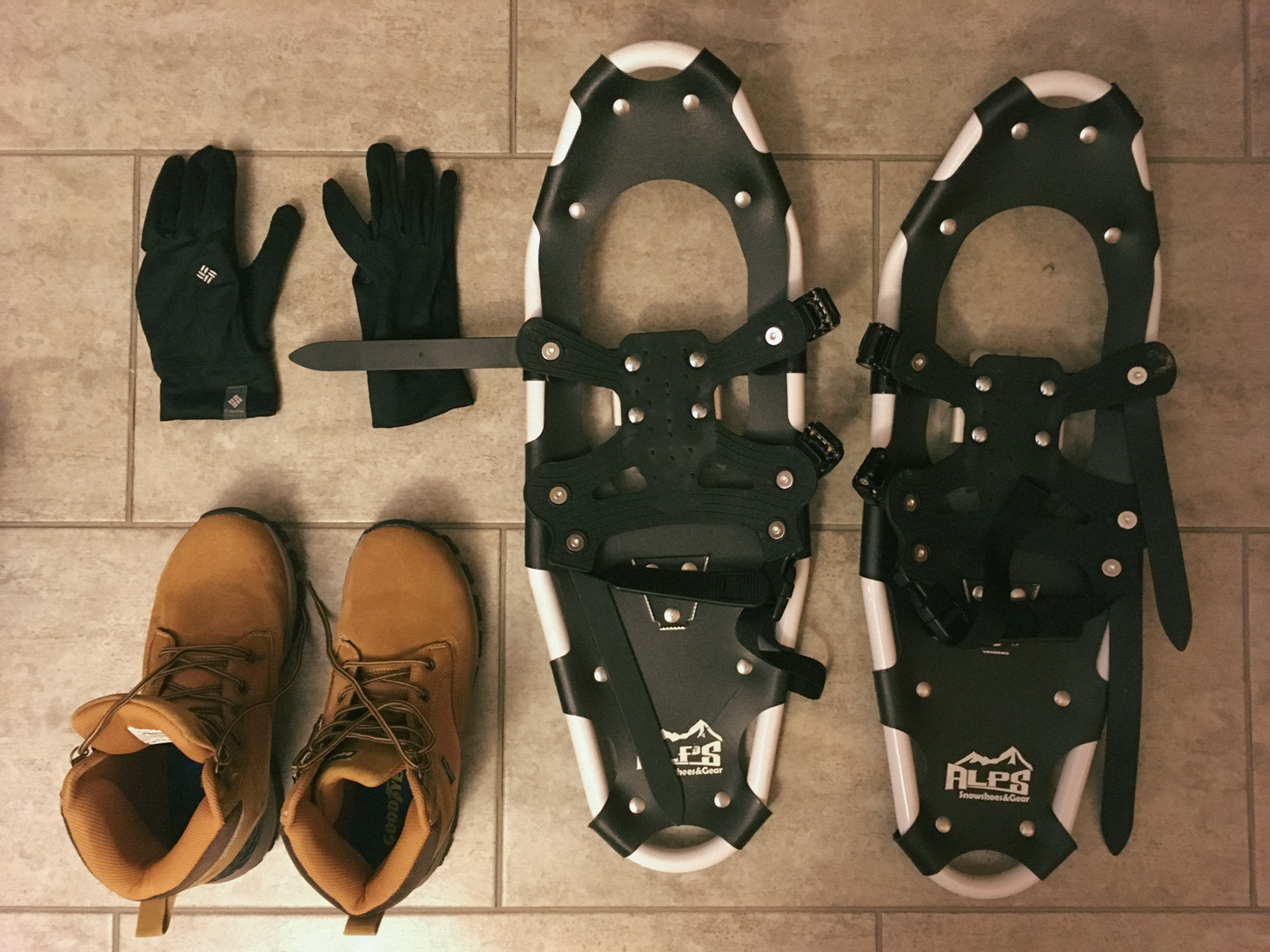
Some of my snow gears. Each one of us brought two pairs of shoes. It turned out to be a great idea since the shoes got wet easily but also dried fast. With two pairs of shoes, we were able to switch multiple times in a day.
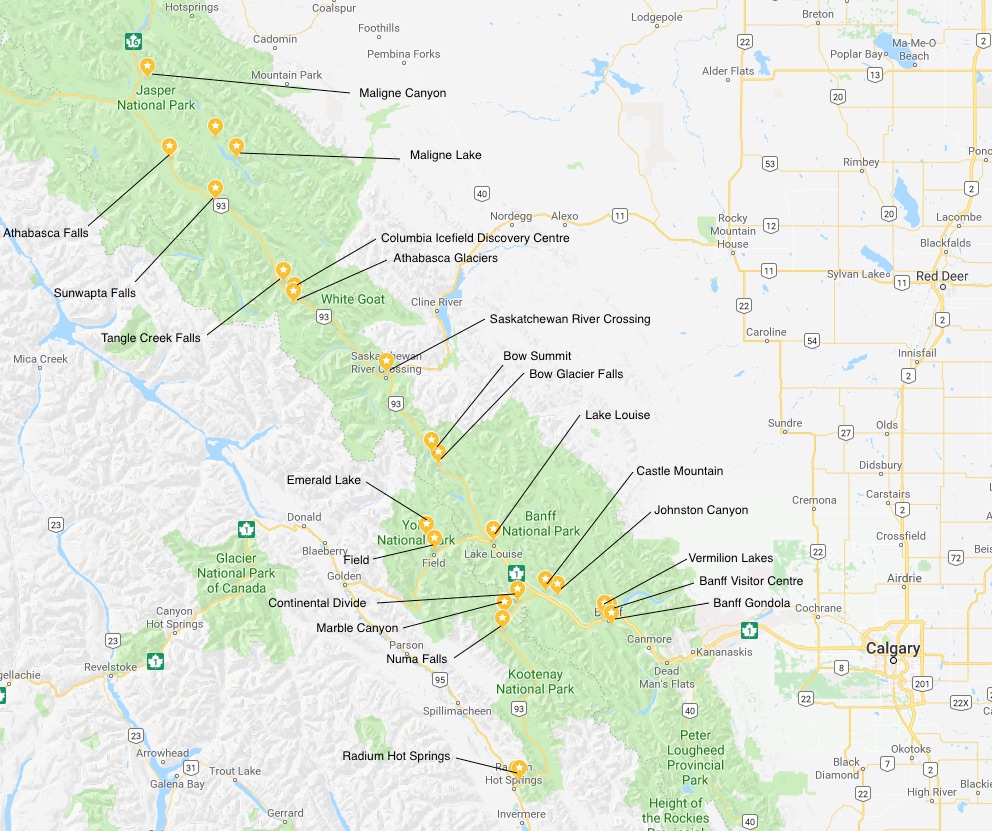
After landing in Calgary on 3/10, we jumped into a rental car with snowtires (required) and started our 9-day Rockies trip. The map above has pretty much all of our trip stops.
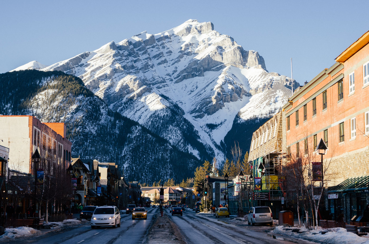
Banff Town. Lots of restaruants, souvenir stores, inns and hotels.
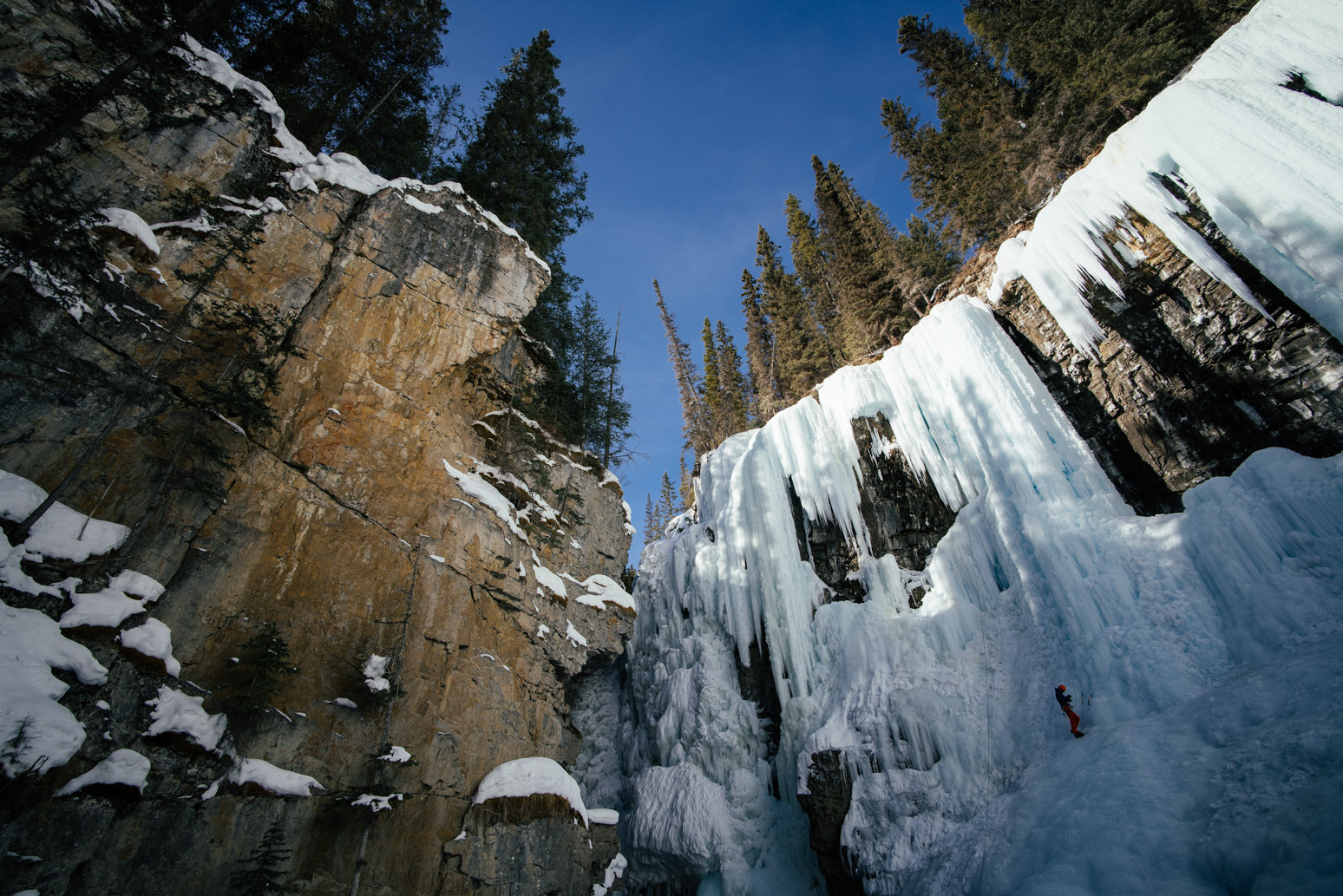
Johnston Canyon, upper falls. An ice climber was preparing for his venture.
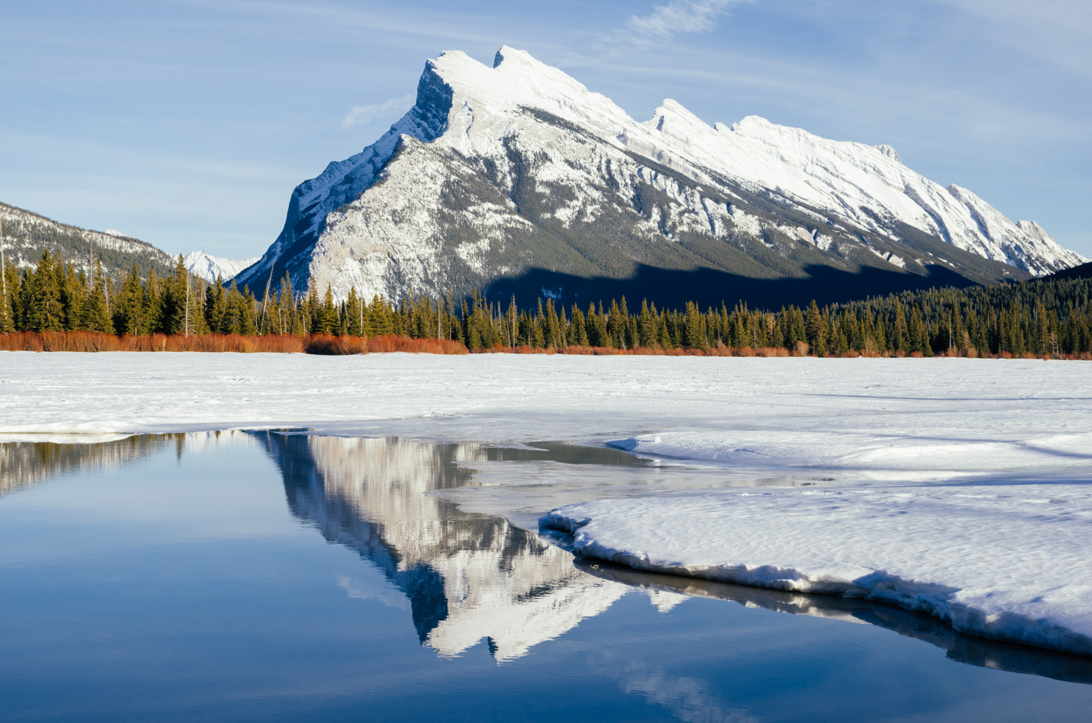
Mt. Rundle and its reflection in one of the Vermilion Lakes.
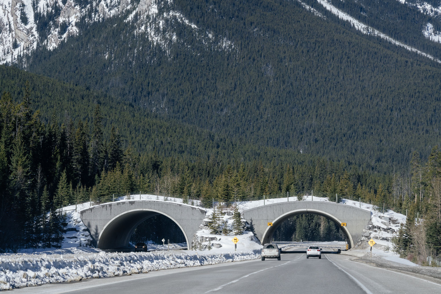
An overpass for wildlife to travel between different habitats. Trans Canada HWY, which cuts through Banff National Park, sees millions of cars each year, and would have caused serious roadkills without these overpasses (and underpasses in other places). These overpasses and underpasses have reduced animal collisions by 70%.
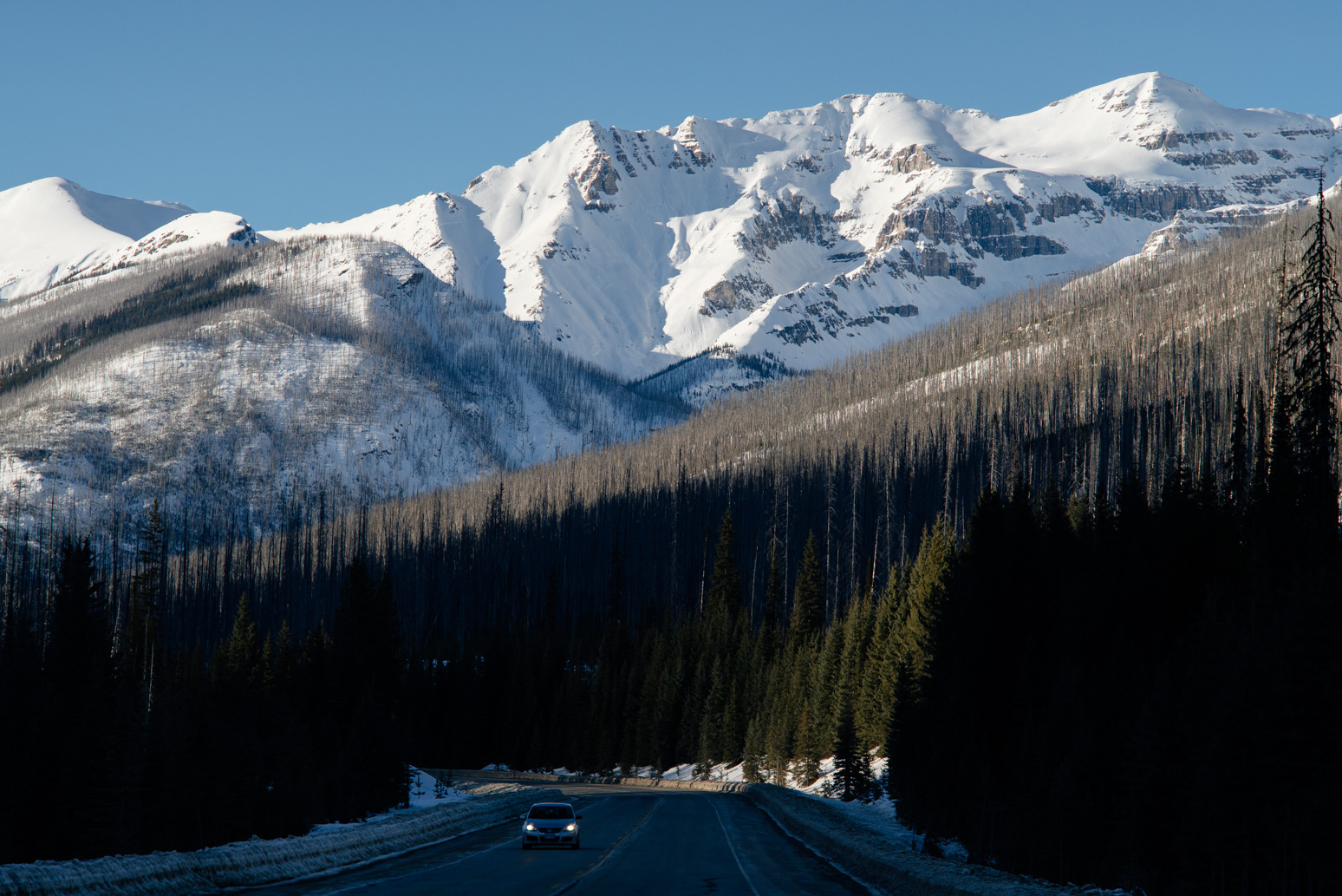
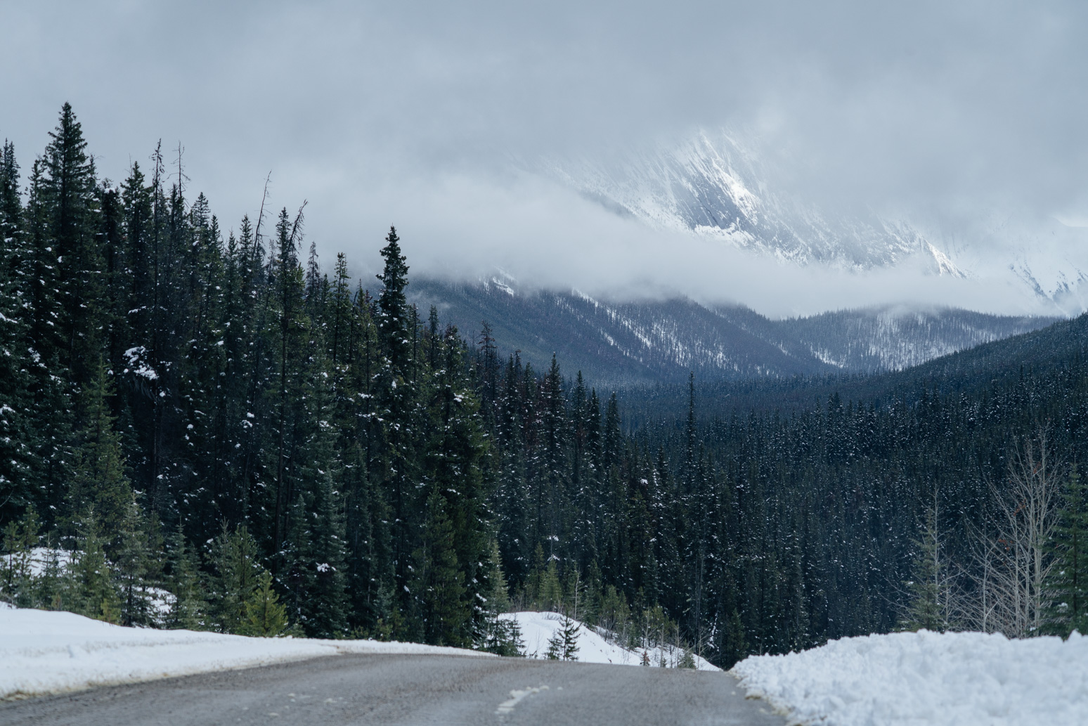
Canadian HWY 93 connects four national parks in the Rockies: Banff, Kootenay, Yoho and Jasper. This is one of the most scenic highways in the world. I took a lot of pictures on 93.
Ice and snow started to melt.
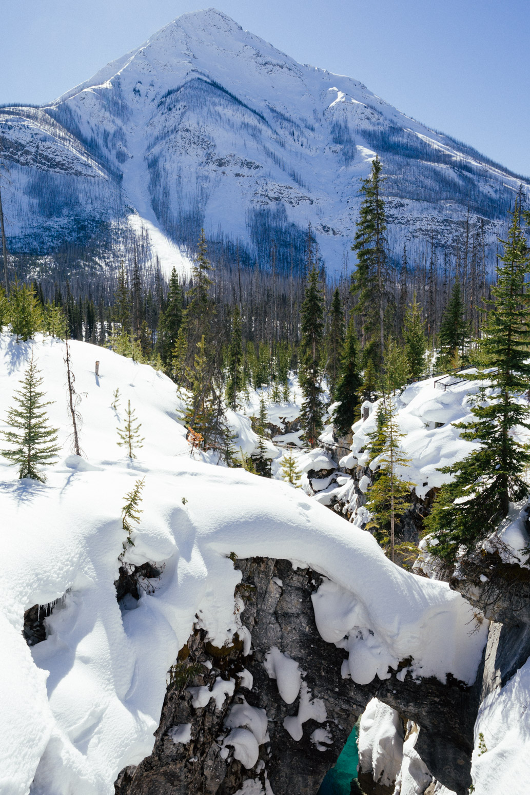
Marble Canyon in Kootenay National Park. There is another Marble Canyon in Arizona, US, which we also visited back in 2015.
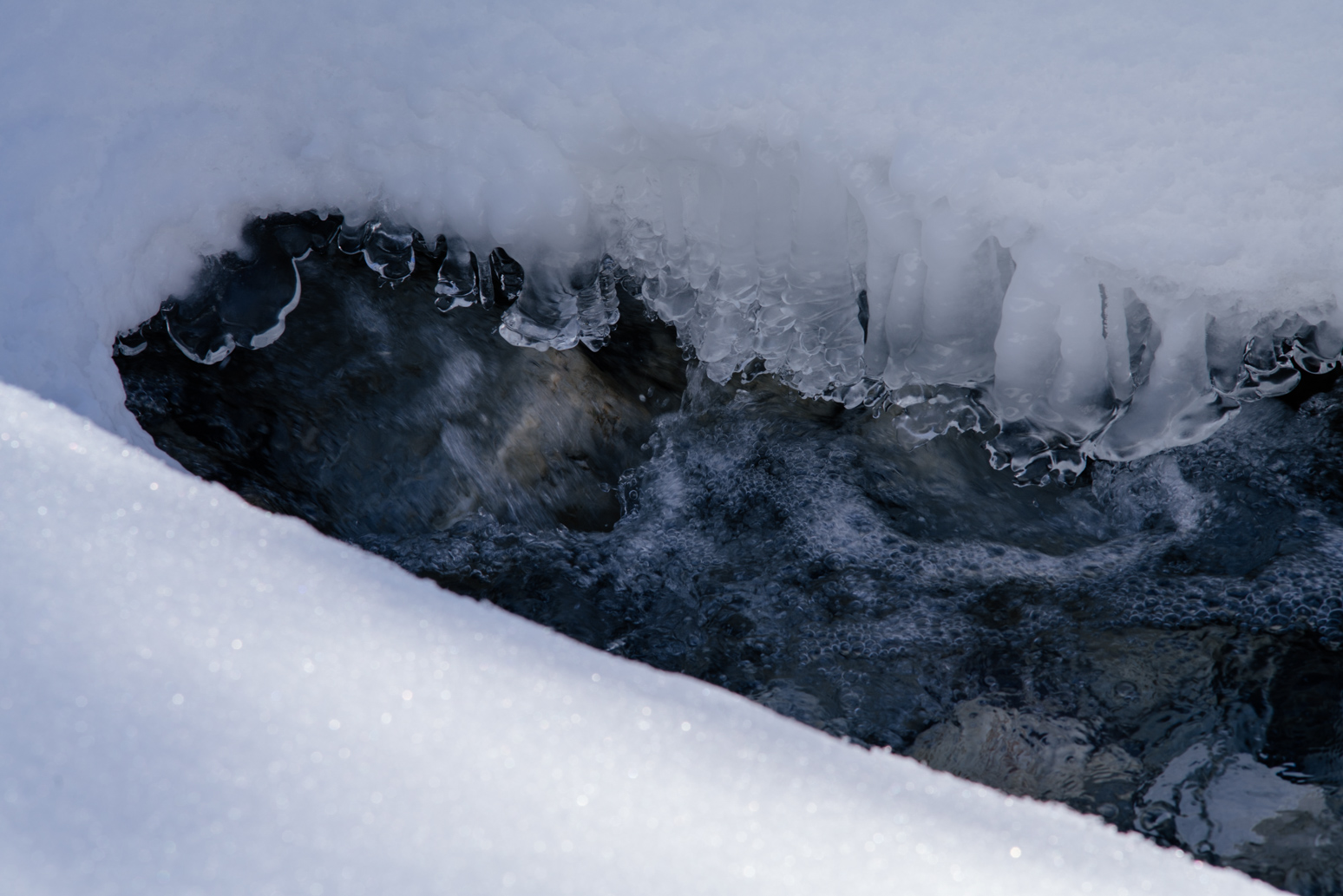
A heart shaped snow patch!
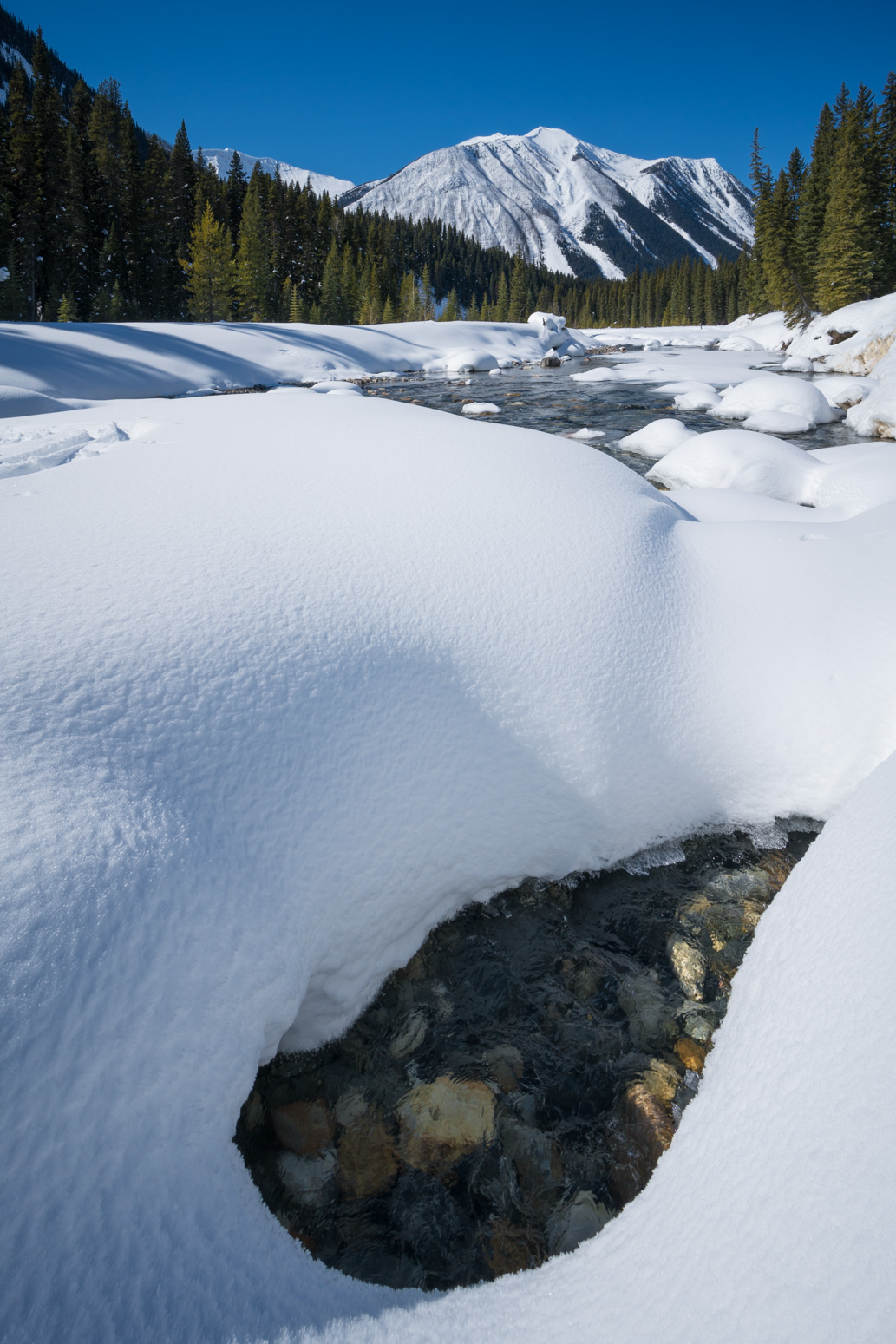
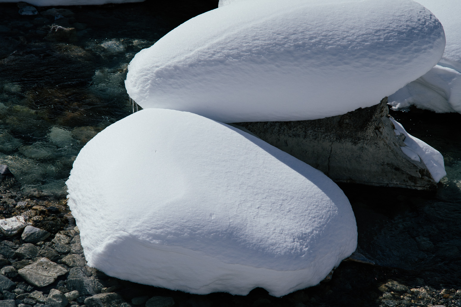
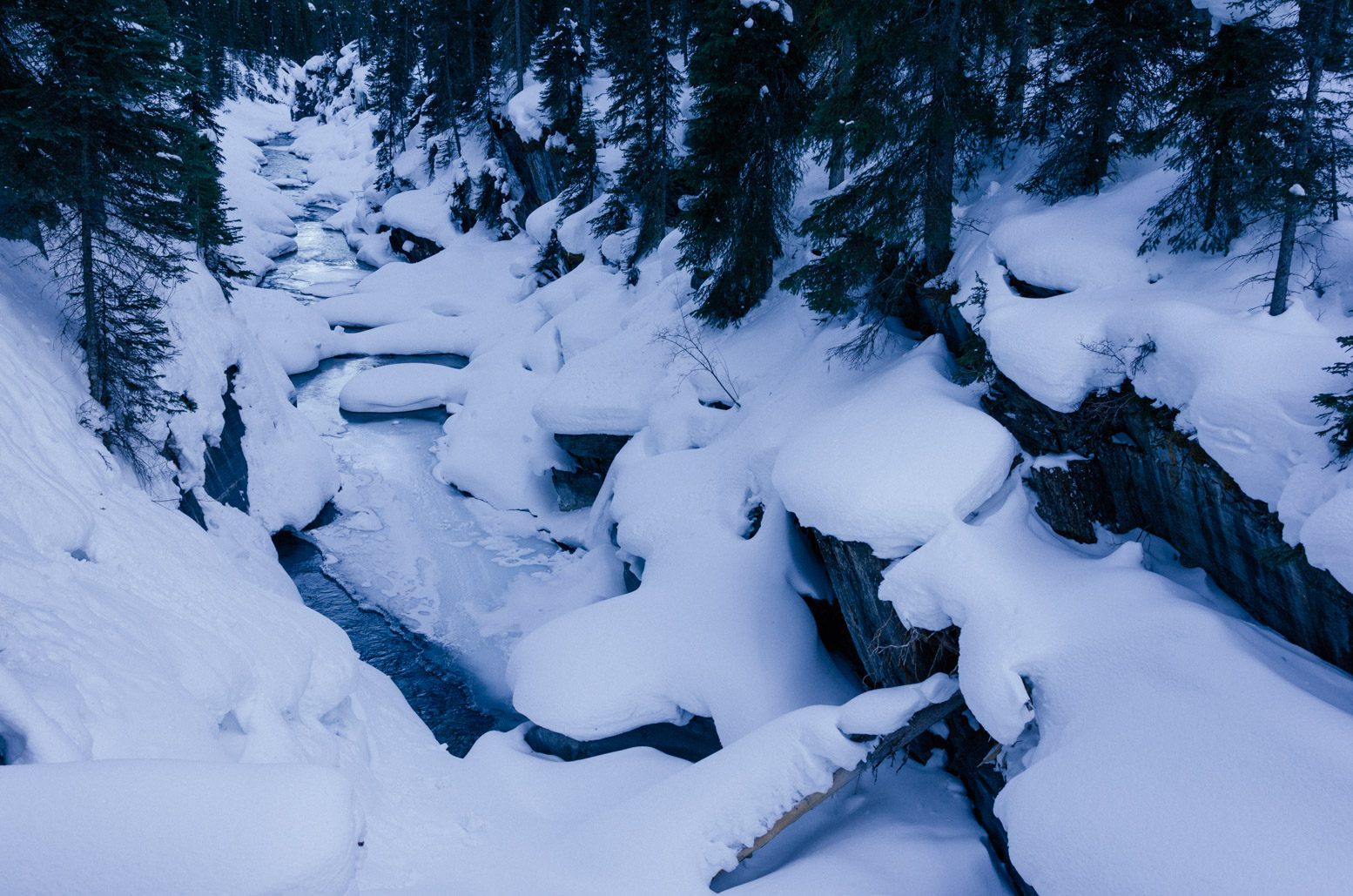
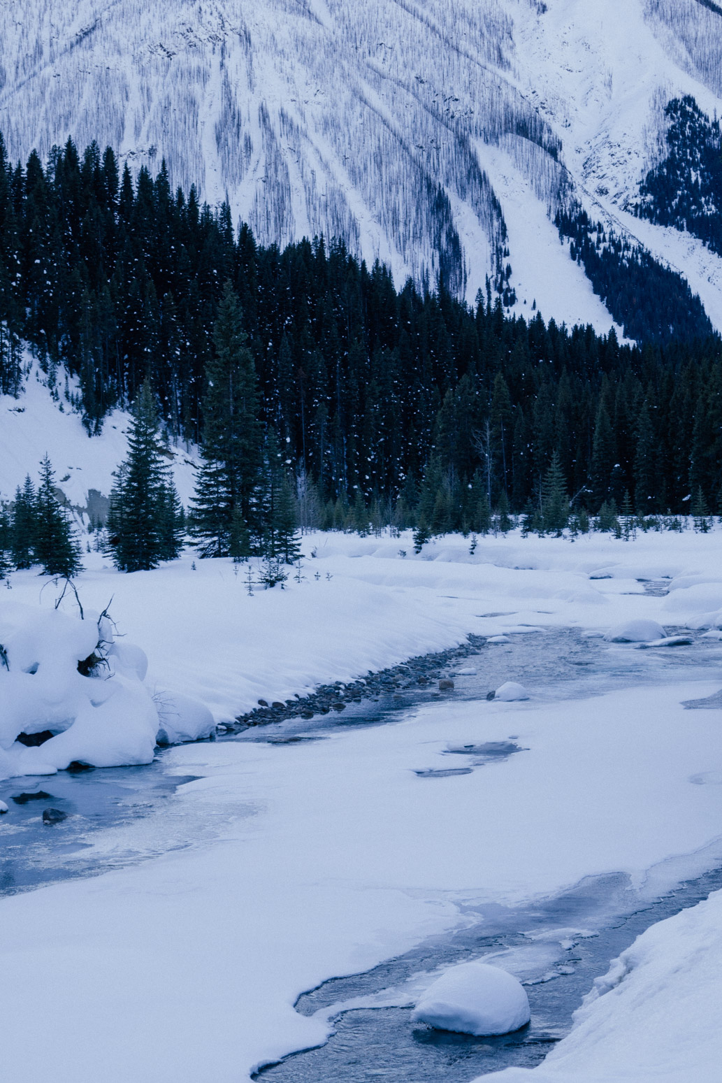
A creek near Numa Falls in Kootenay National Park.
The same creek.
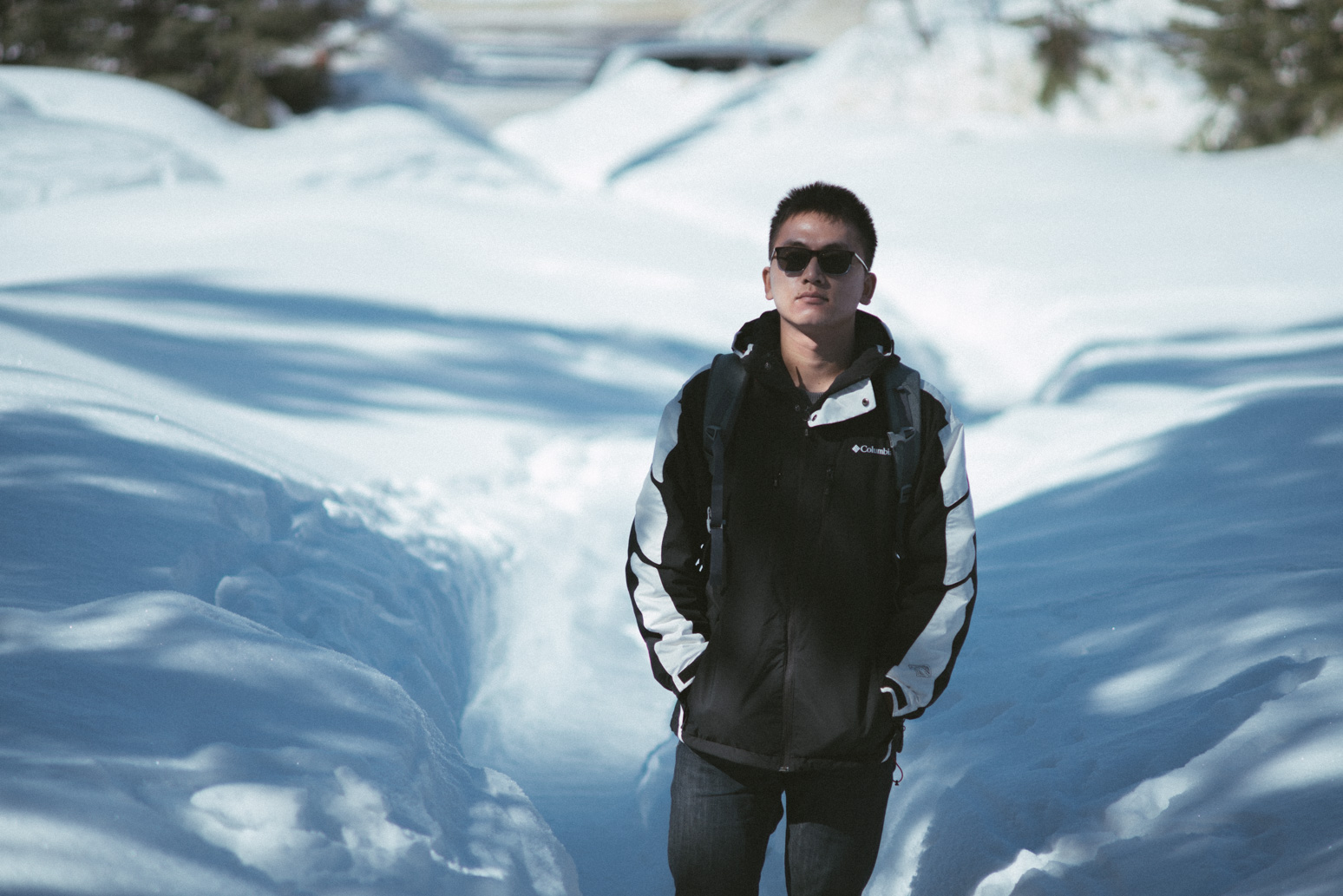
Xin standing in snow.
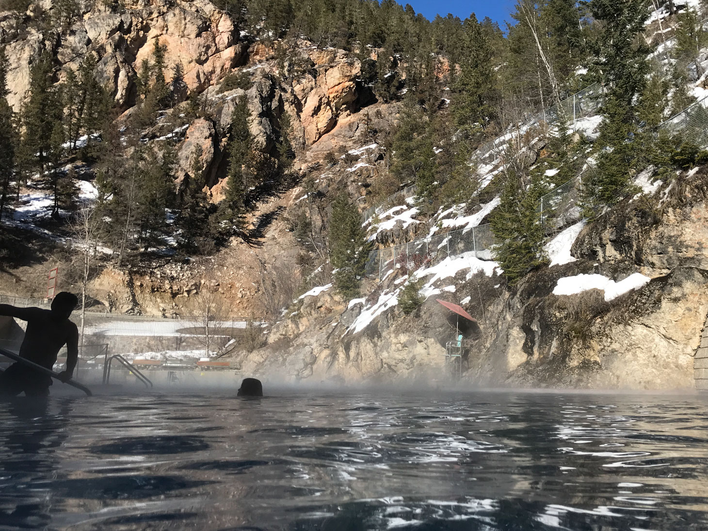
Radium Hot Springs in Kootenay! Soaked in for an hour. Very relaxing. I forgot to put on sunscreen and my face had a little sunburn after that…
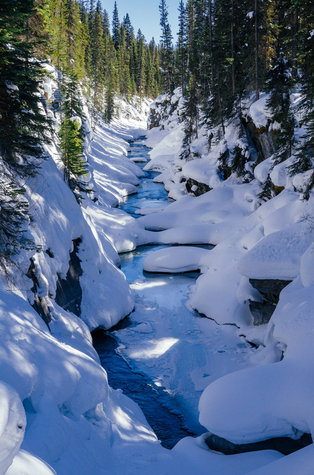
Revisiting Numa Falls and the creeks in dusk, as we drove to Emerald Lake.
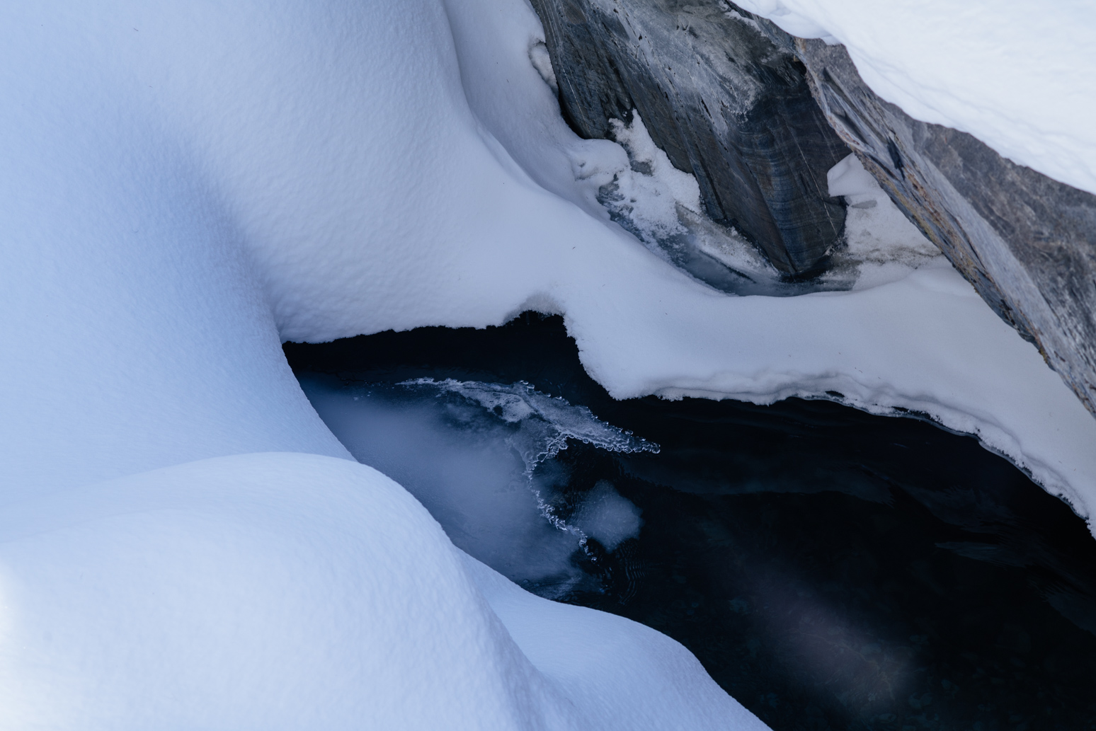
Snow in the creek.
Numa Falls creek in dusk.
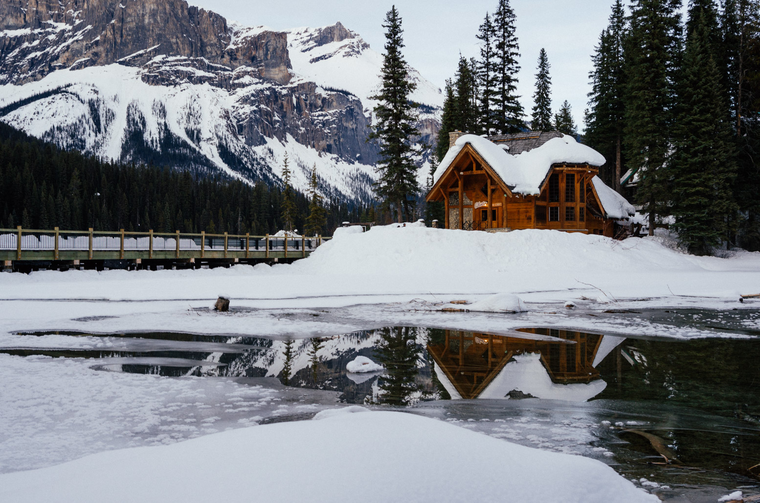
Emerald Lake is such a pretty isolated place hidden in the heart of Yoho National Park. Across the bridge you enter the Emerald Lake Lodge. No private cars are allowed in the lodge area. They have a small bus to transport guests between the lodge and the lodge parking lot, which is about a km away. There was no cell phone reception, no WiFi, no TVs in the room, no connection with the outside whatsoever. Calm down and enjoy nature. We stayed in the Emerald Lake Lodge for two days.
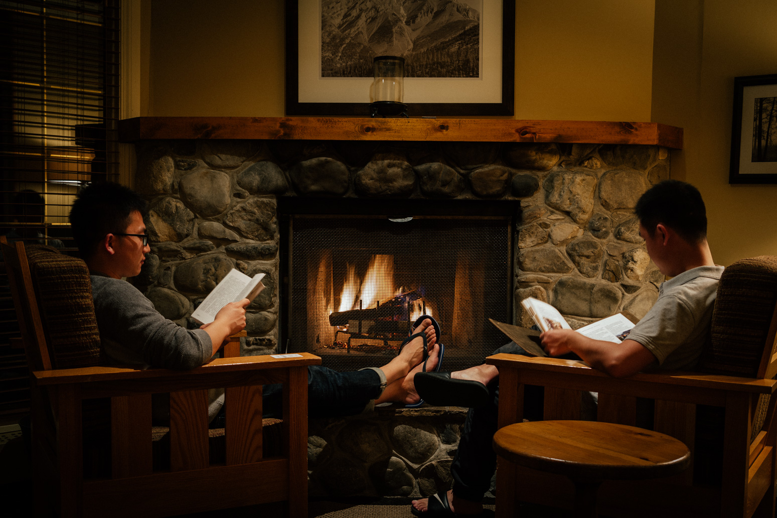
Reading by the fireplace. It was very cozy inside the lodge.
Looking out of our window in the morning, we were a bit surprised by the fog over the lake. So quiet…
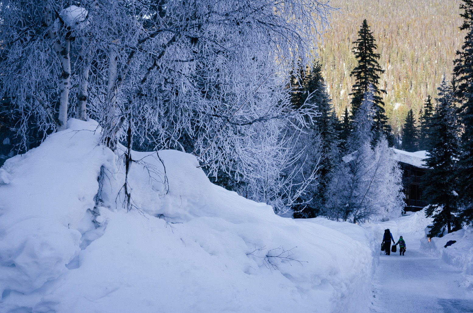
Walking in the lodge area.
Another shot in the lodge area.
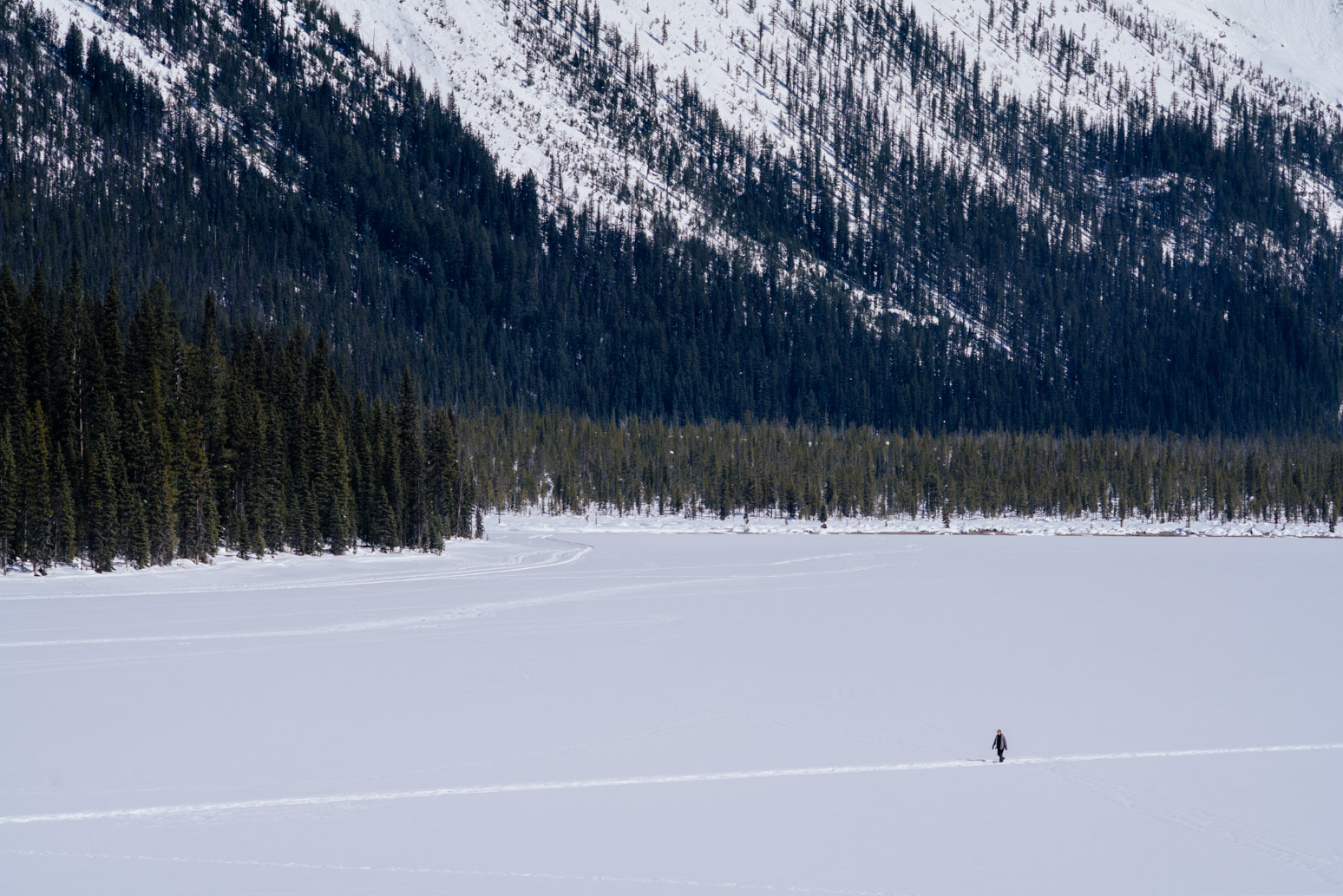
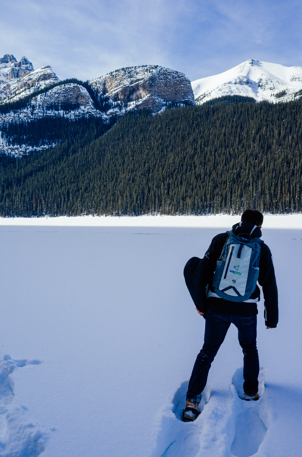
A man walking across the frozen Emerald Lake.
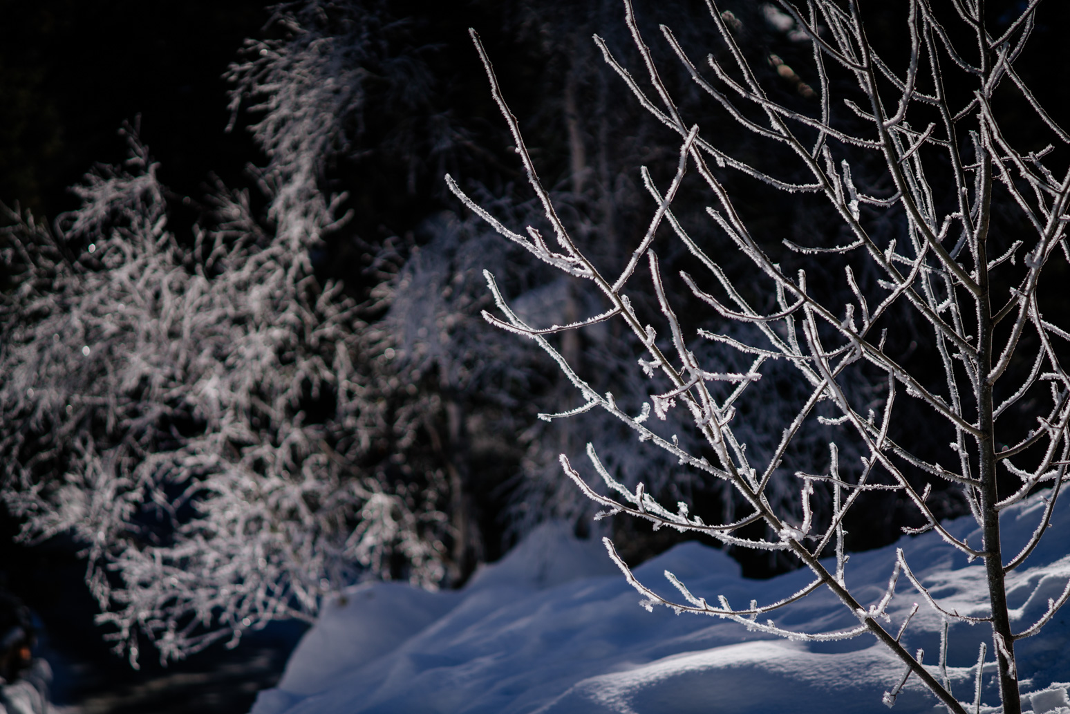
Frozen trees.
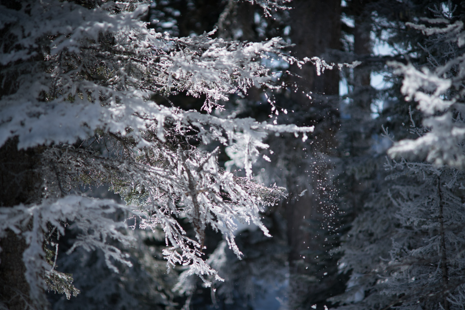
Snowflakes falling from the trees, blinking in the winter sunshine.
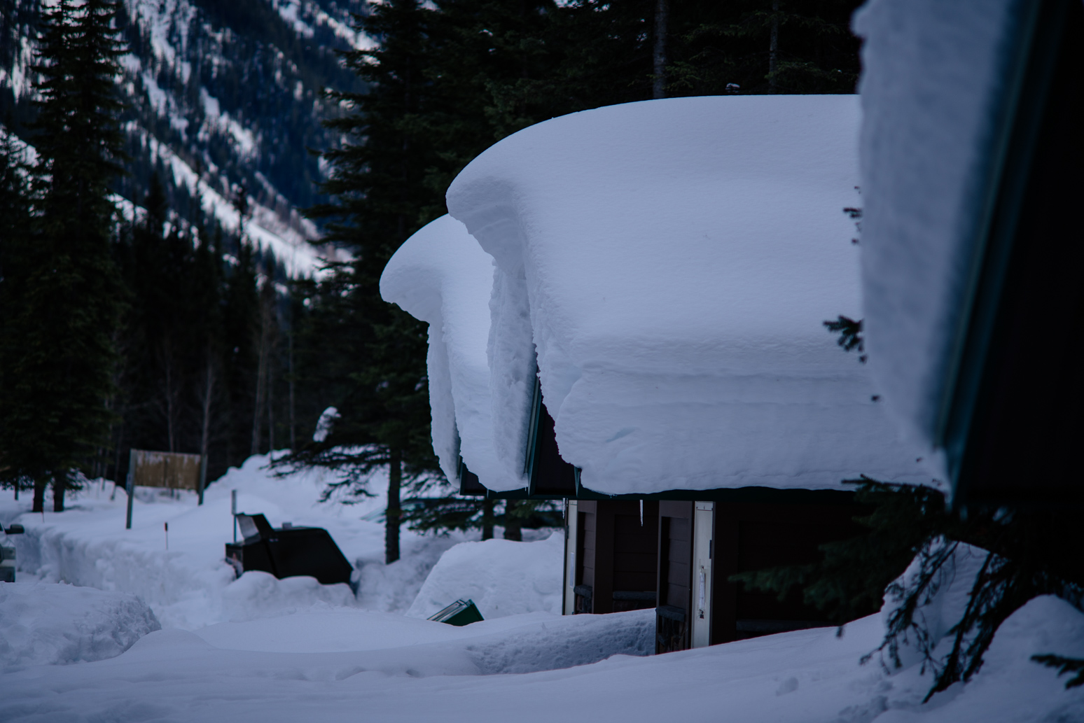
Cottages near the lake.
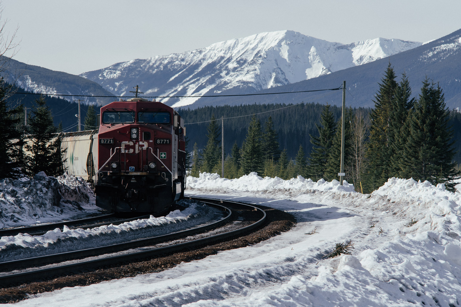
Field, a small town inside Yoho, between Lake Louise and Emerald Lake. We found here when looking for restaurants on google maps. Field has less than 200 residents. Field is known for the Burgess Shale. CPR train track workers in Field discovered the fossils in the Burgess Shale back in the early 1900s. Burgess Shale later led to great scientific discoveries about early life on Earth. More information here. Unfortunately, the visitor center in Field was closed when we were there.
Field in snow.
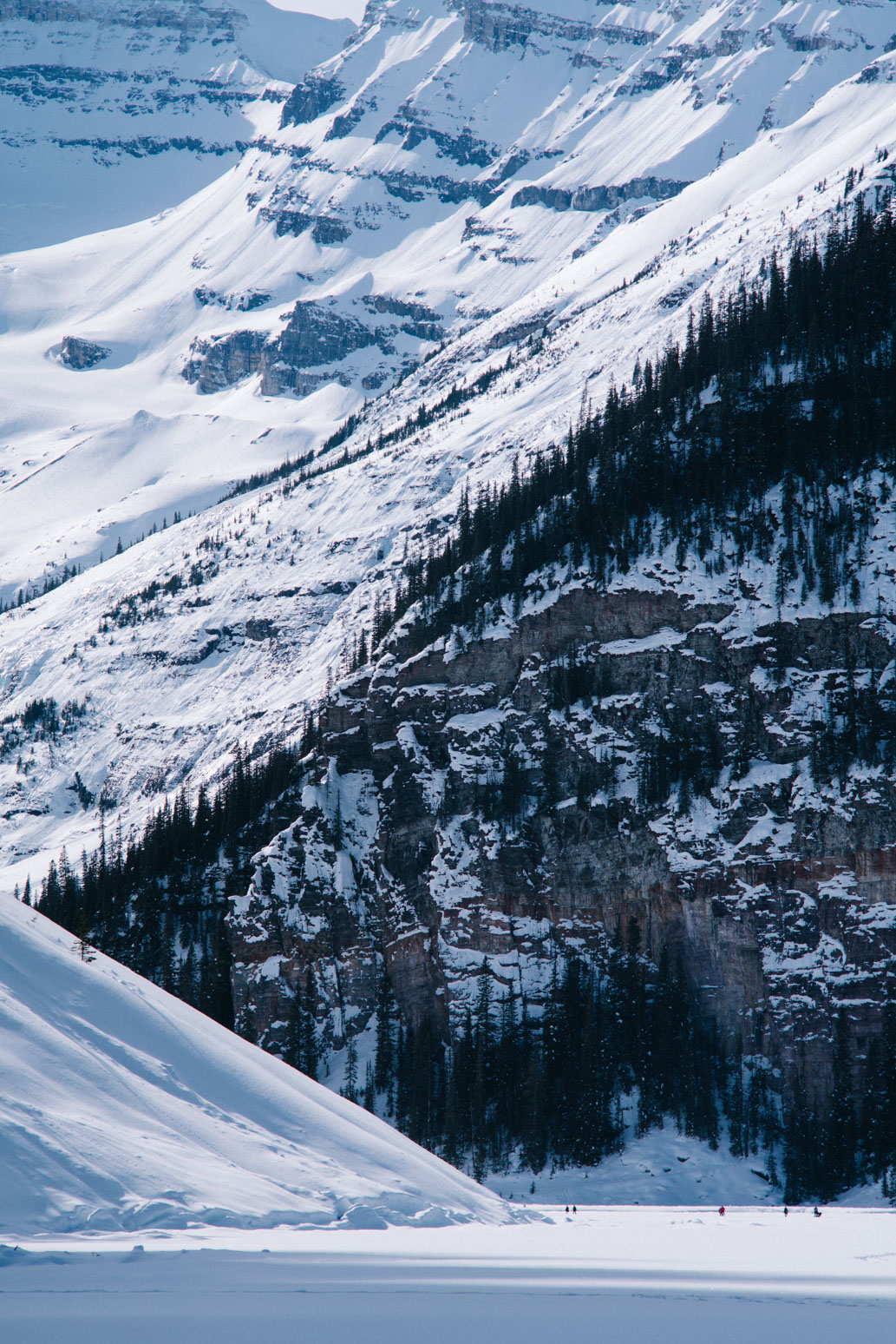
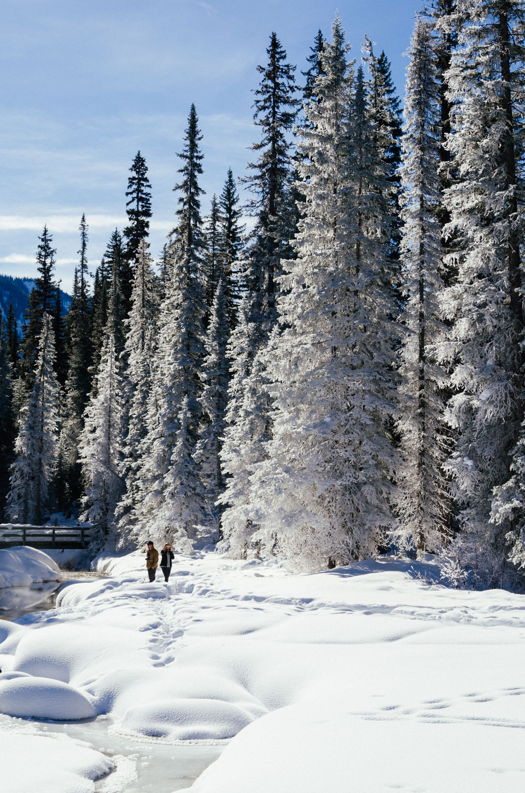
Mountains surrounding Lake Louise. I took this shot after decending from a hill by the lake. Quite a venture since the decending trail we took was not maintained and was heavily covered by snow. Very slippery and we saw nobody during our decent. There was also a avalanche warning at the trailhead. Anyway, we made it, with snowshoes.
Xin snowshoeing on Lake Louise.
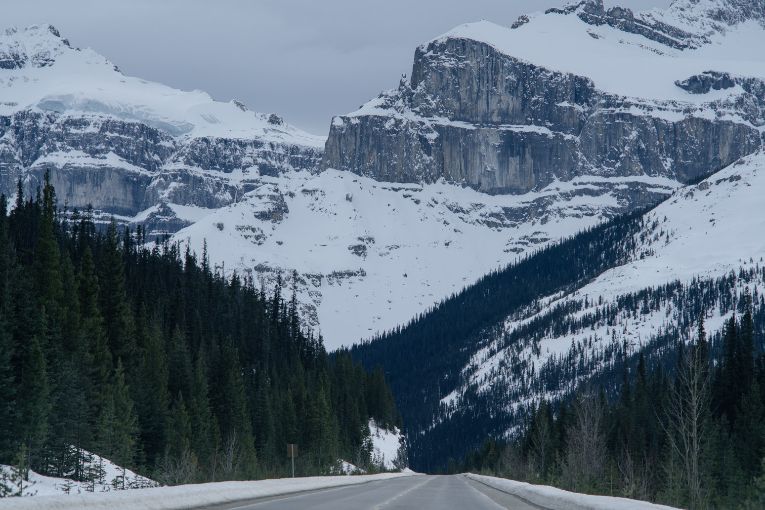
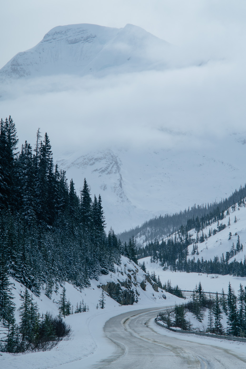
After Lake Louise, we started our Icefields Parkway journey towards Jasper. Once we were on Icefields Parkway, cell phone reception died. There are no gas stations, rest areas, nothing for the next 232 km until one reaches Jasper. In the winter, the highway can be partially or completely covered by snow and ice. So need to be very careful. All that said, it is very scenic and rewarding.
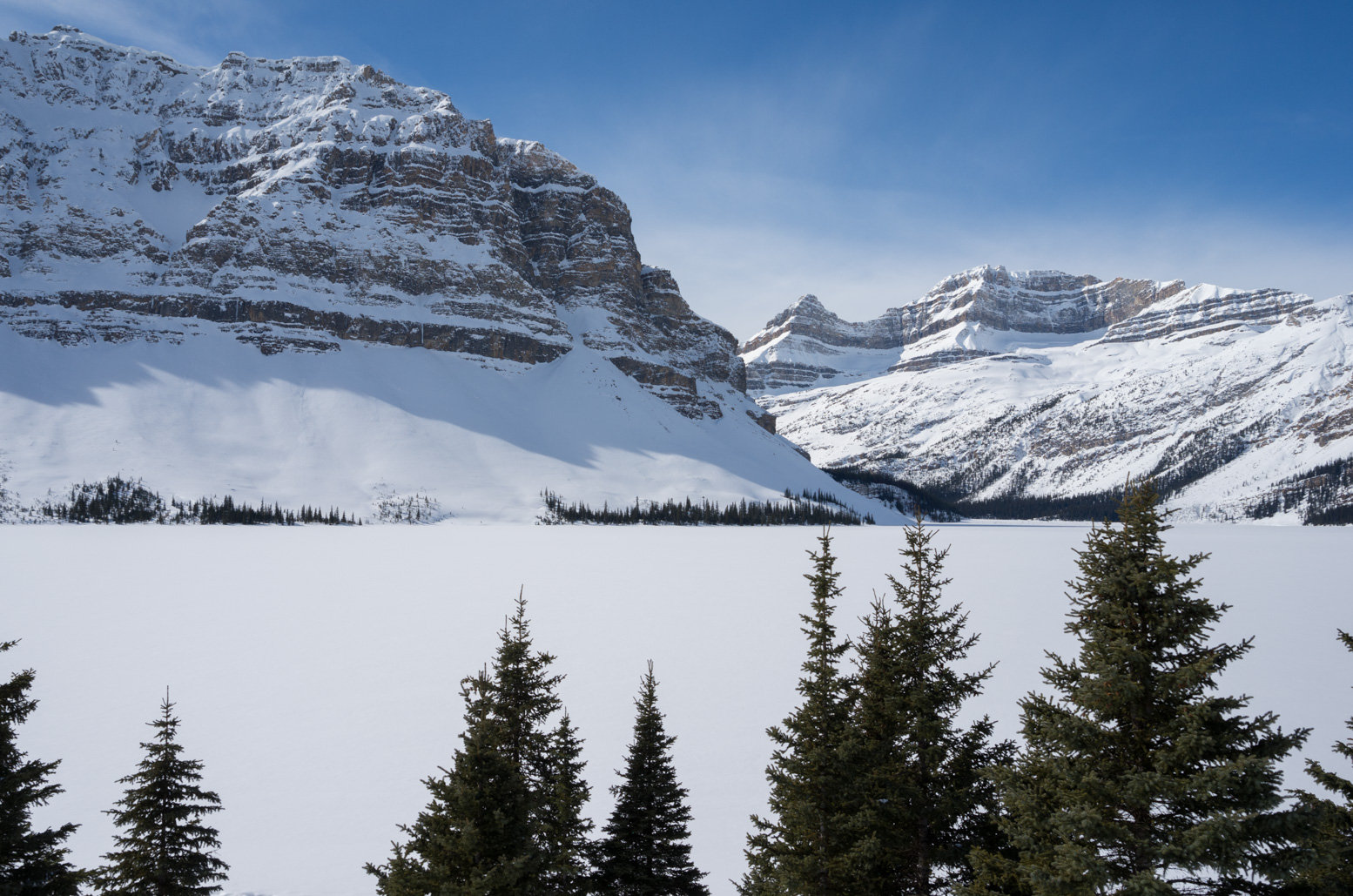
Bow Lake. Completely frozen and covered by snow.
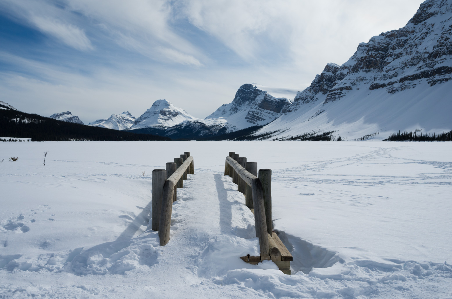
A wood bridge. Snow covered everything…
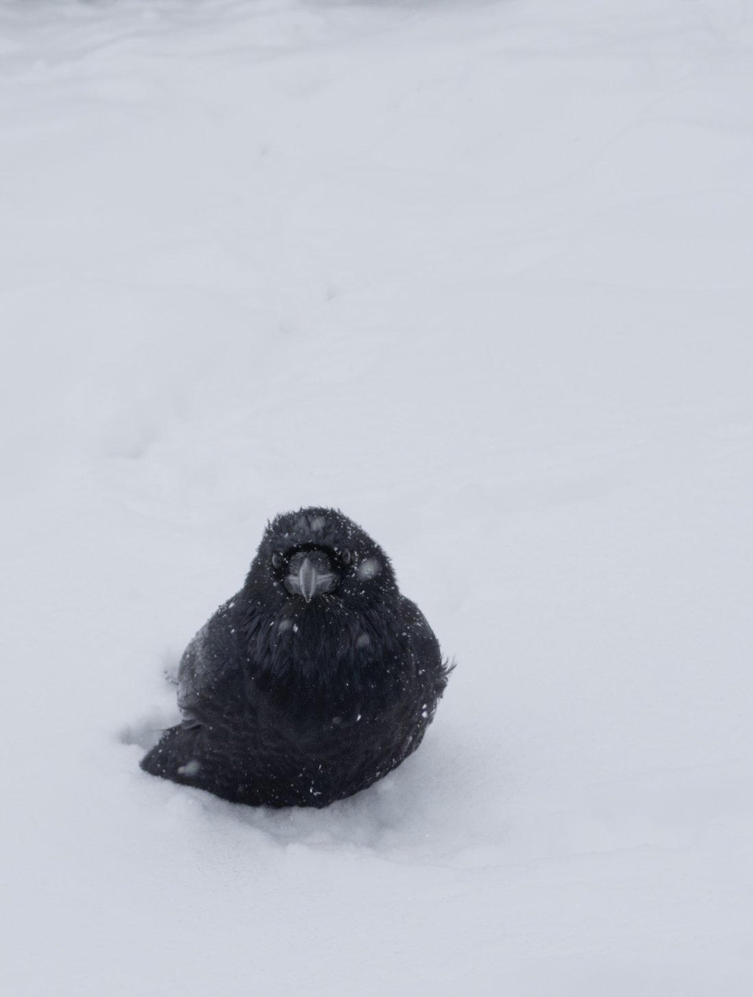
A huge crow standing in the snow. Our car got stuck in the snow when we tried to pull out from the shoulder…We were a bit scared, but thankfully, two backcountry skiers stopped by. They first shaveled the snow and ice beneath our front wheels, and then put snowshoes beneath them to give the car a bit more friction. Then they pushed the car out. Xin gave them a box of maple cookies to thank them.
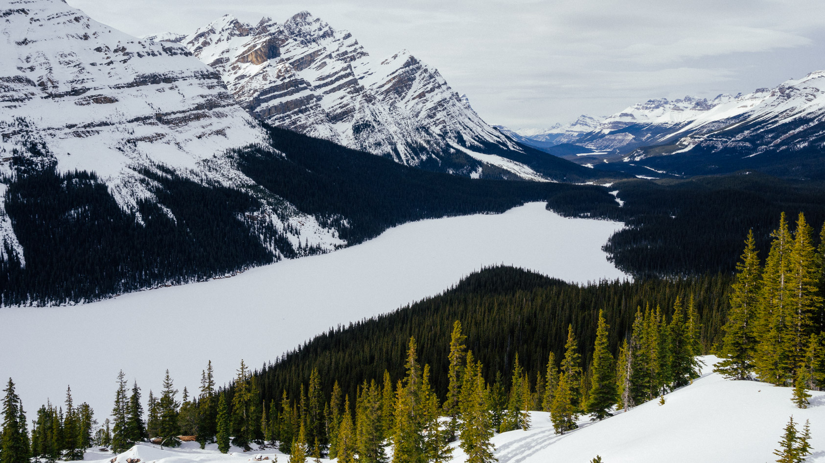
Bow summit, overlooking Peyto Lake. Peyto Lake is a gem in Banff. It was frozen and all white when we were there, but still pretty.
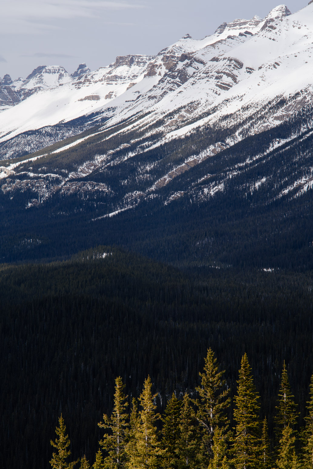
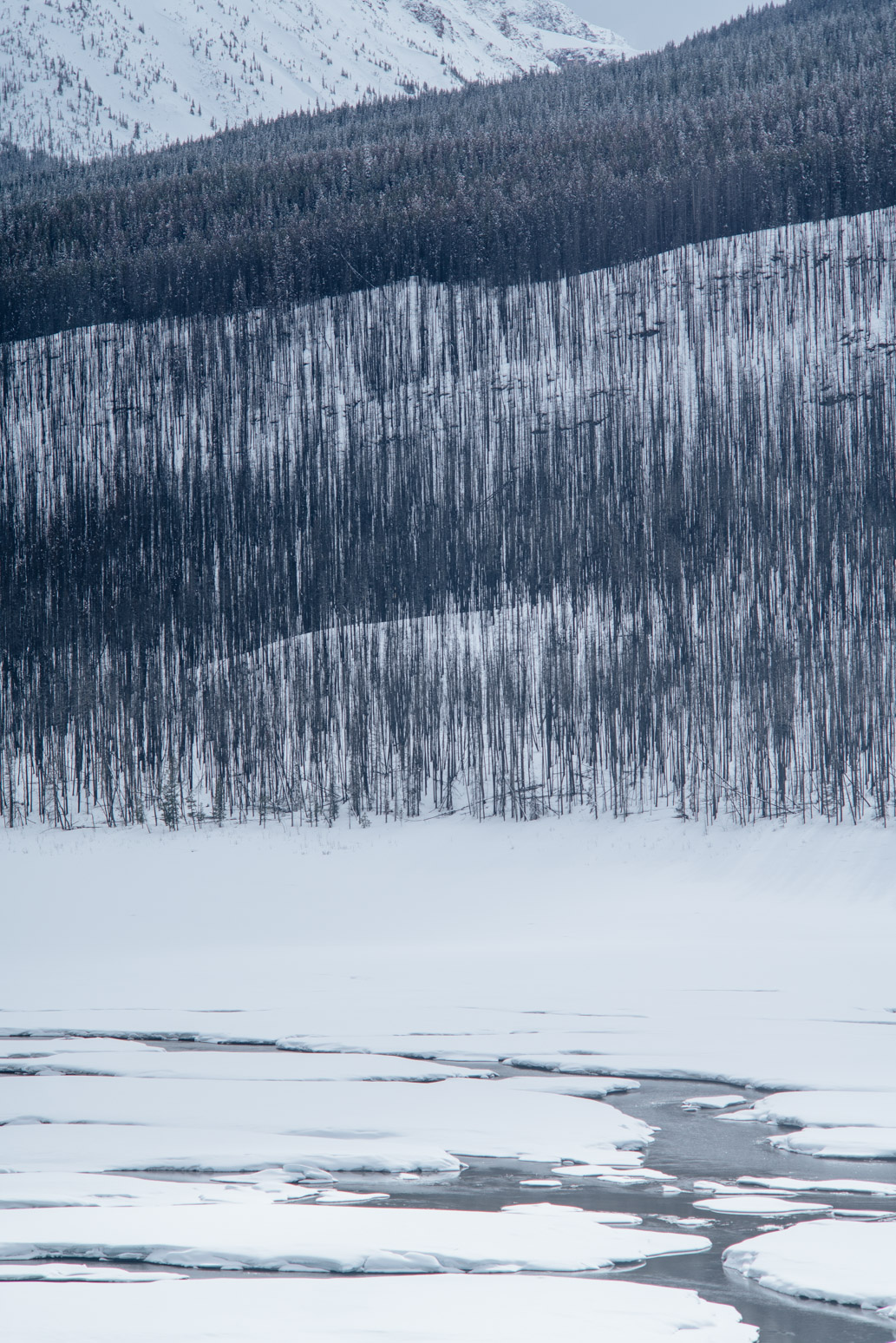
Glacier valley.
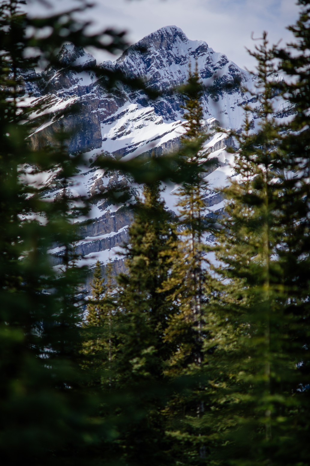
Mountain behind the pine trees.
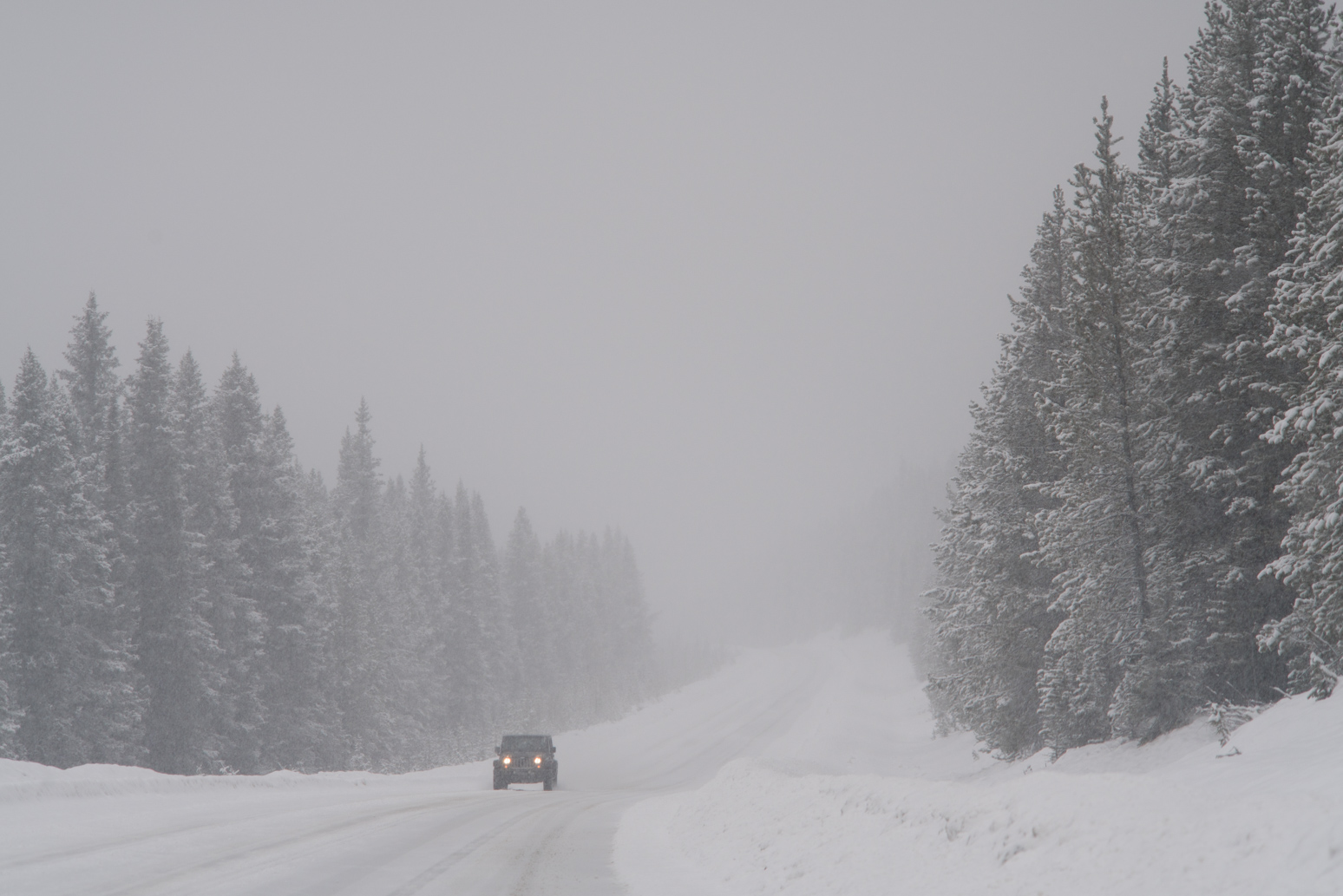
We drove back to Lake Louise to stay the night. The next day was like a snowstorm.
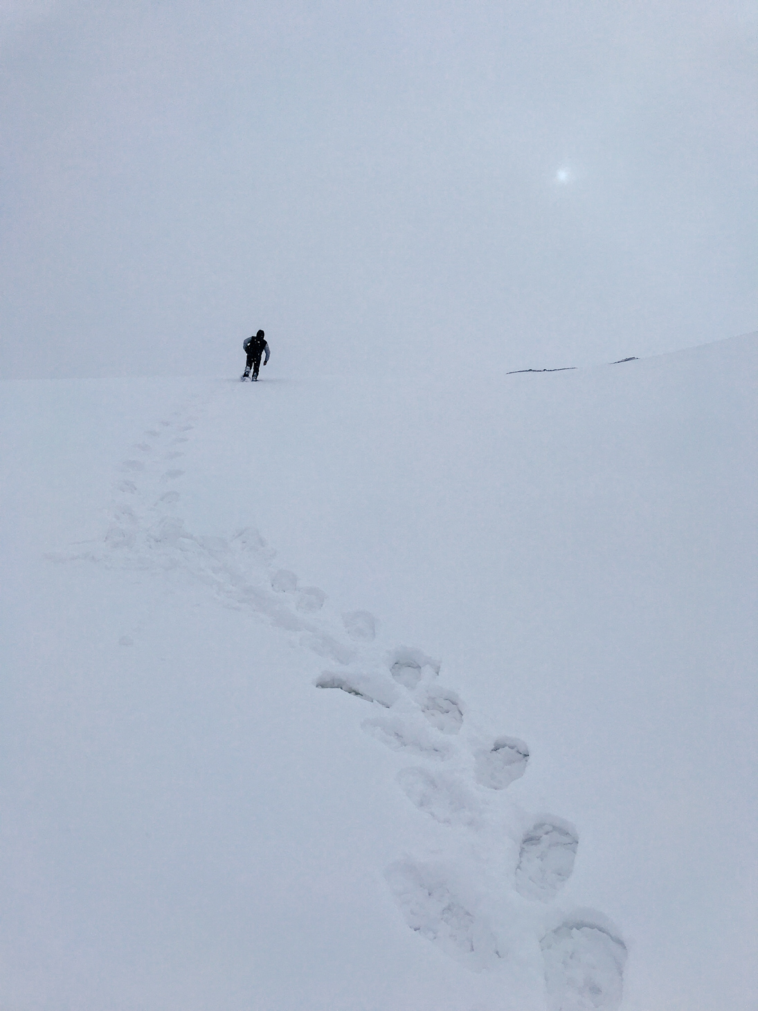
Snowshoeing to see the Athabasca Glacier. We didn’t see it because the visibility was so low that day. Everything was white and bright. And it was snowing all the time. But snowshoeing in such a wild place was fun. It was just the snow, mountains, Xin and me.
How everything looked like…My eyes could hardly find anything to focus on.
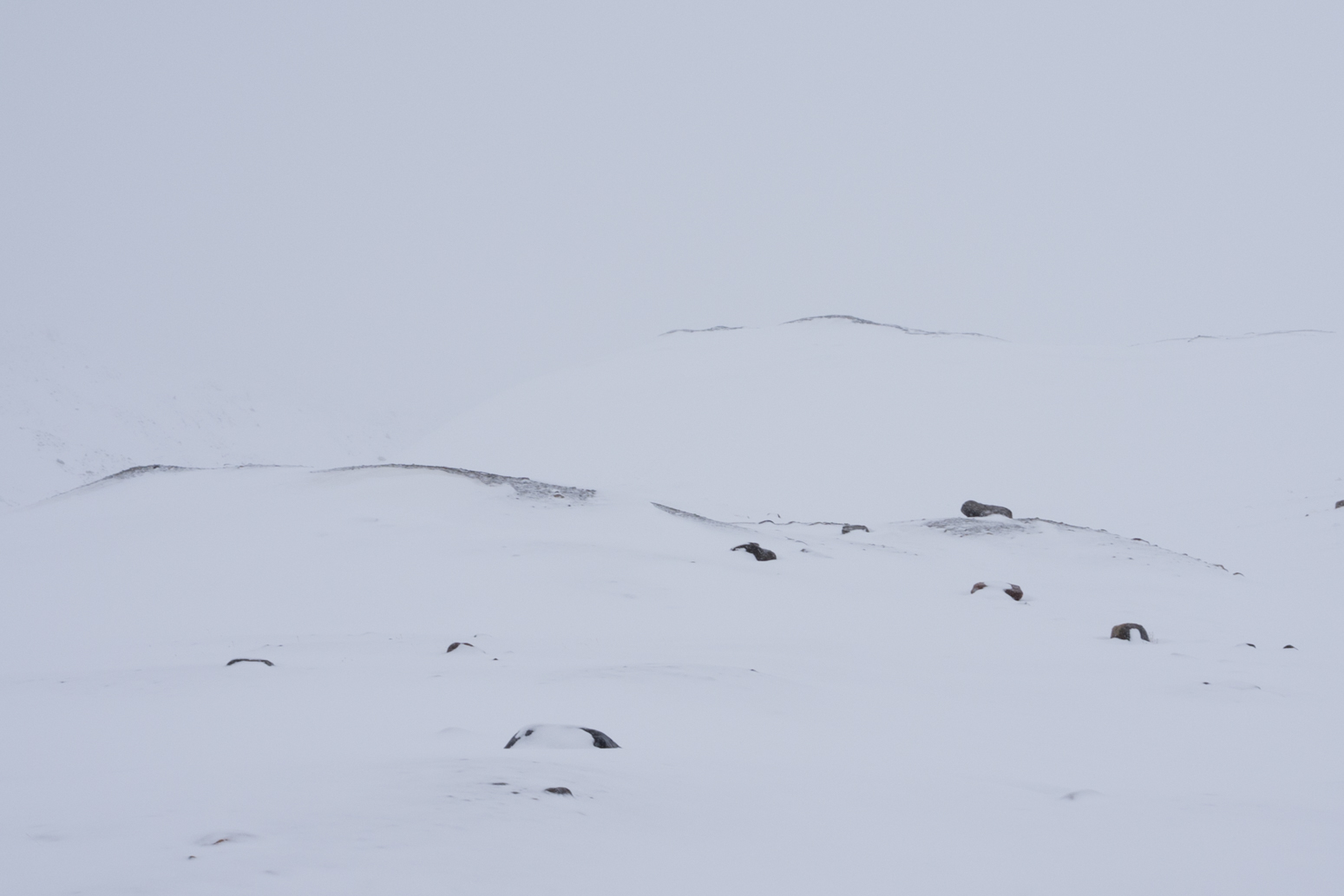
The next day was much better. Gloomy but no snow or rain.
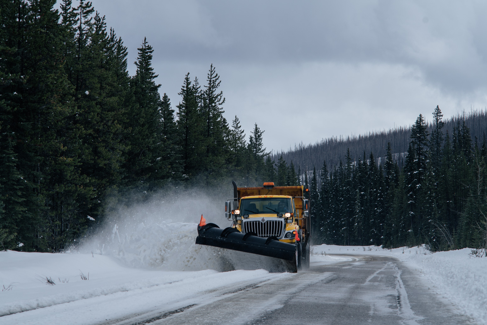
A snowplow.
Medicine Lake.
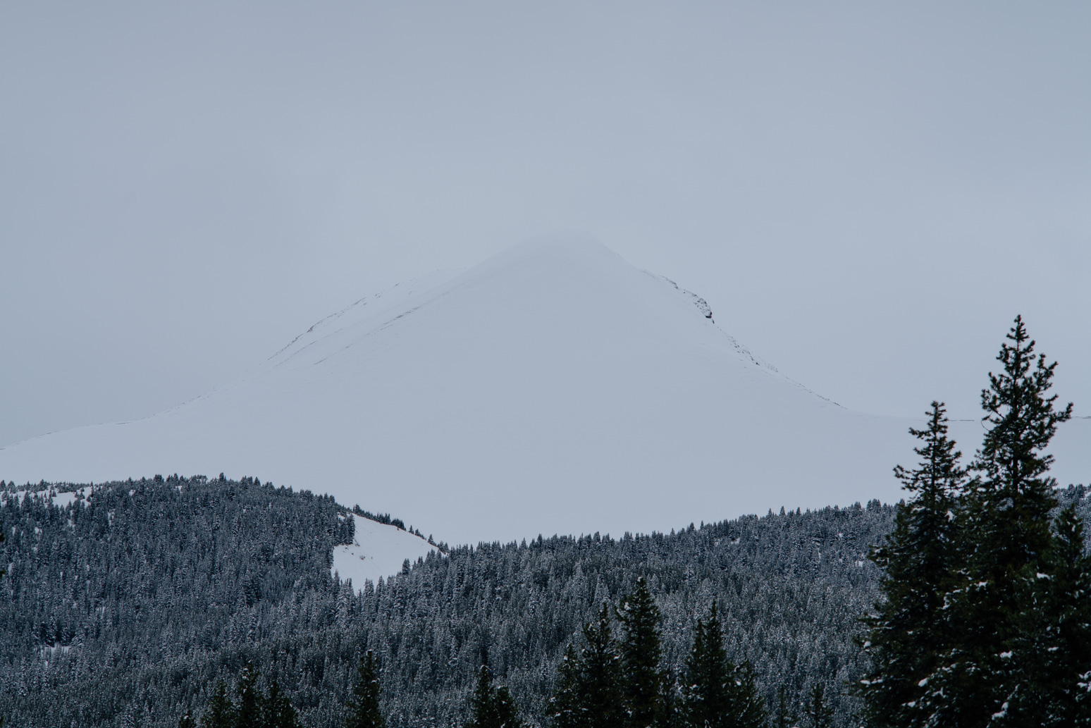
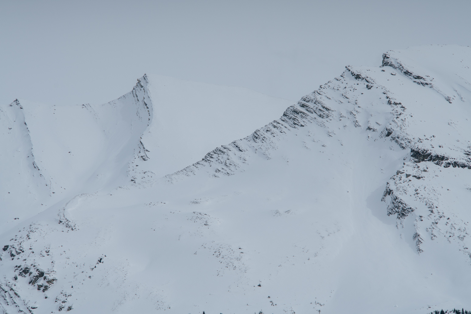
A white peak.
Maligne Lake Rd.
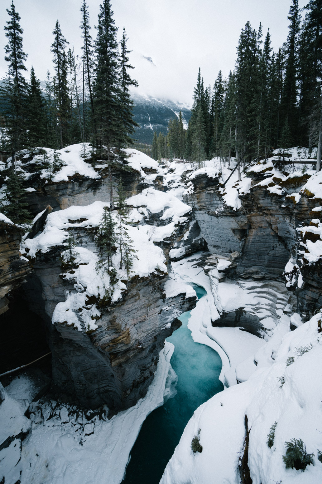
Athabasca Falls.
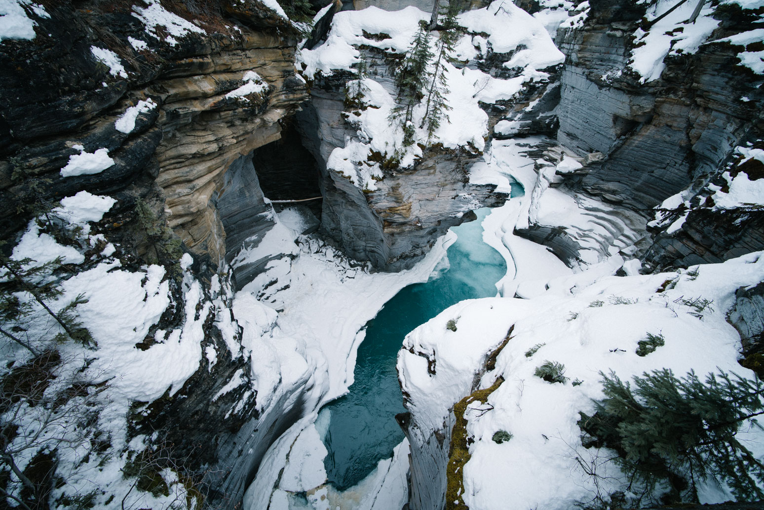
The canyon beneath Athabasca Falls.
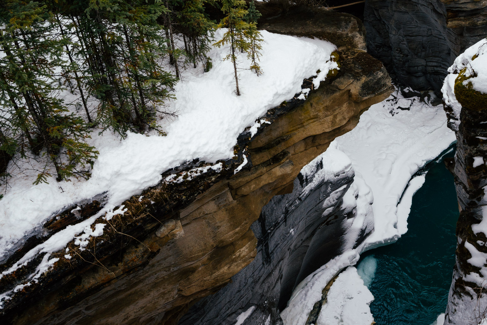
The canyon.
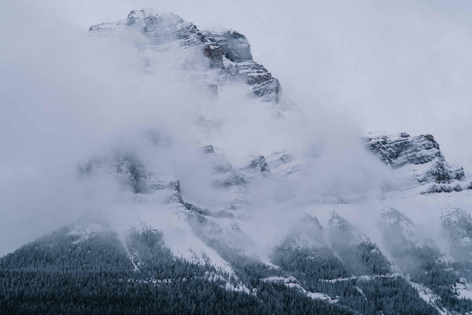
Mt. Hardisty in mist.
The last day, driving back to Calgary.
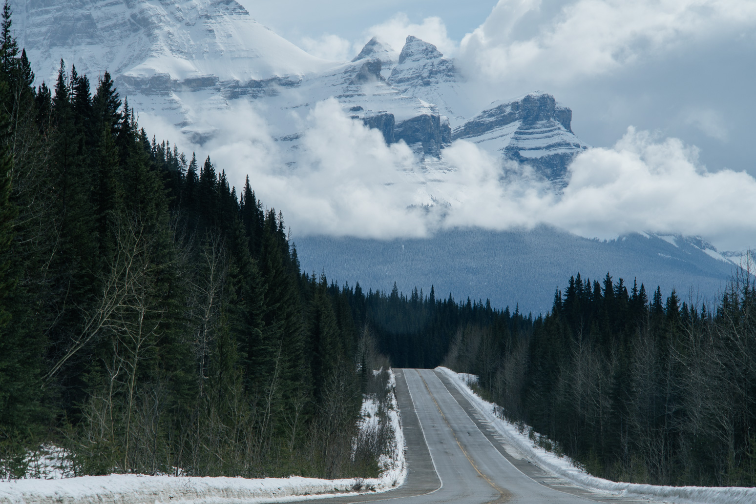
Icefield Parkway.
Mountains in snow.
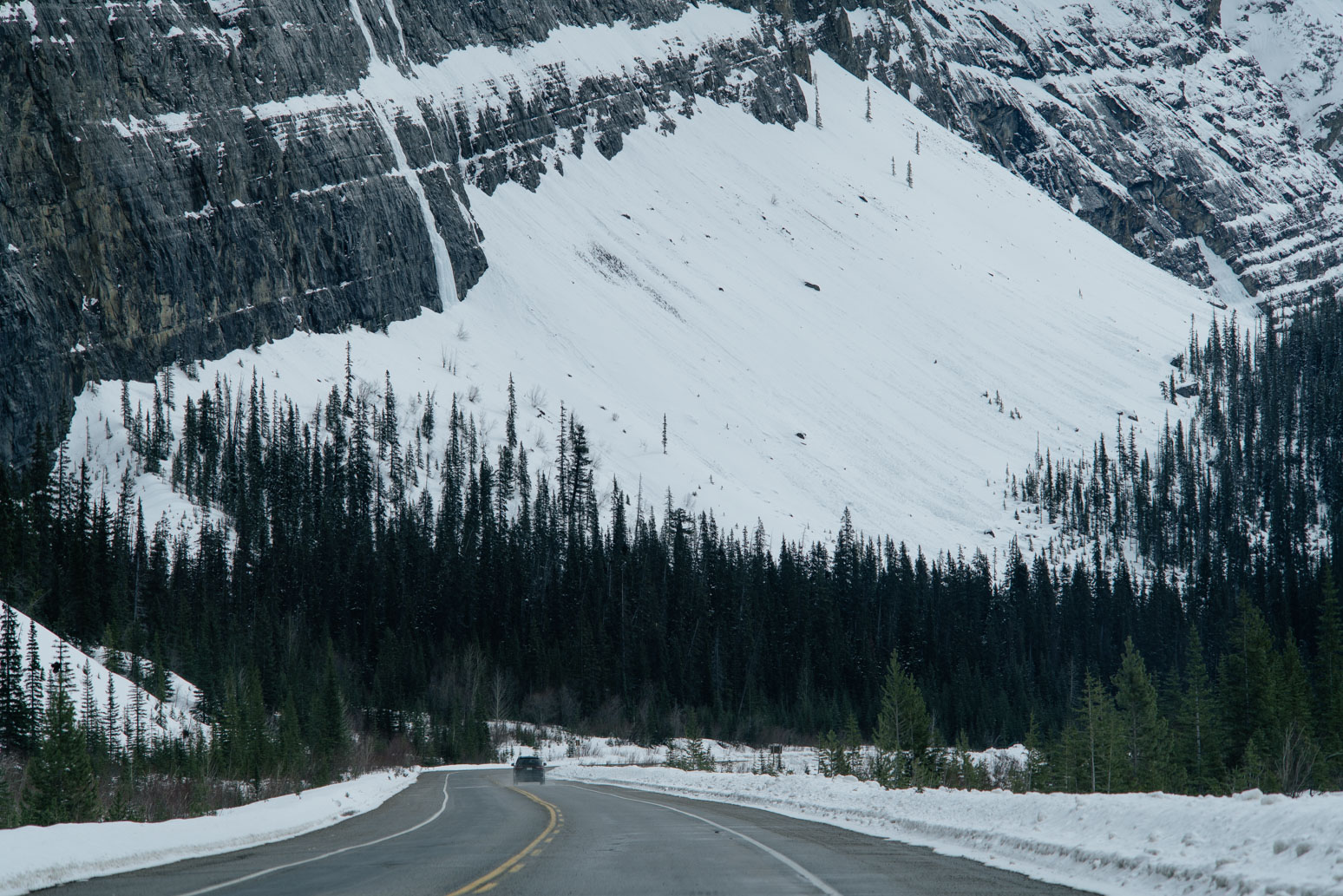
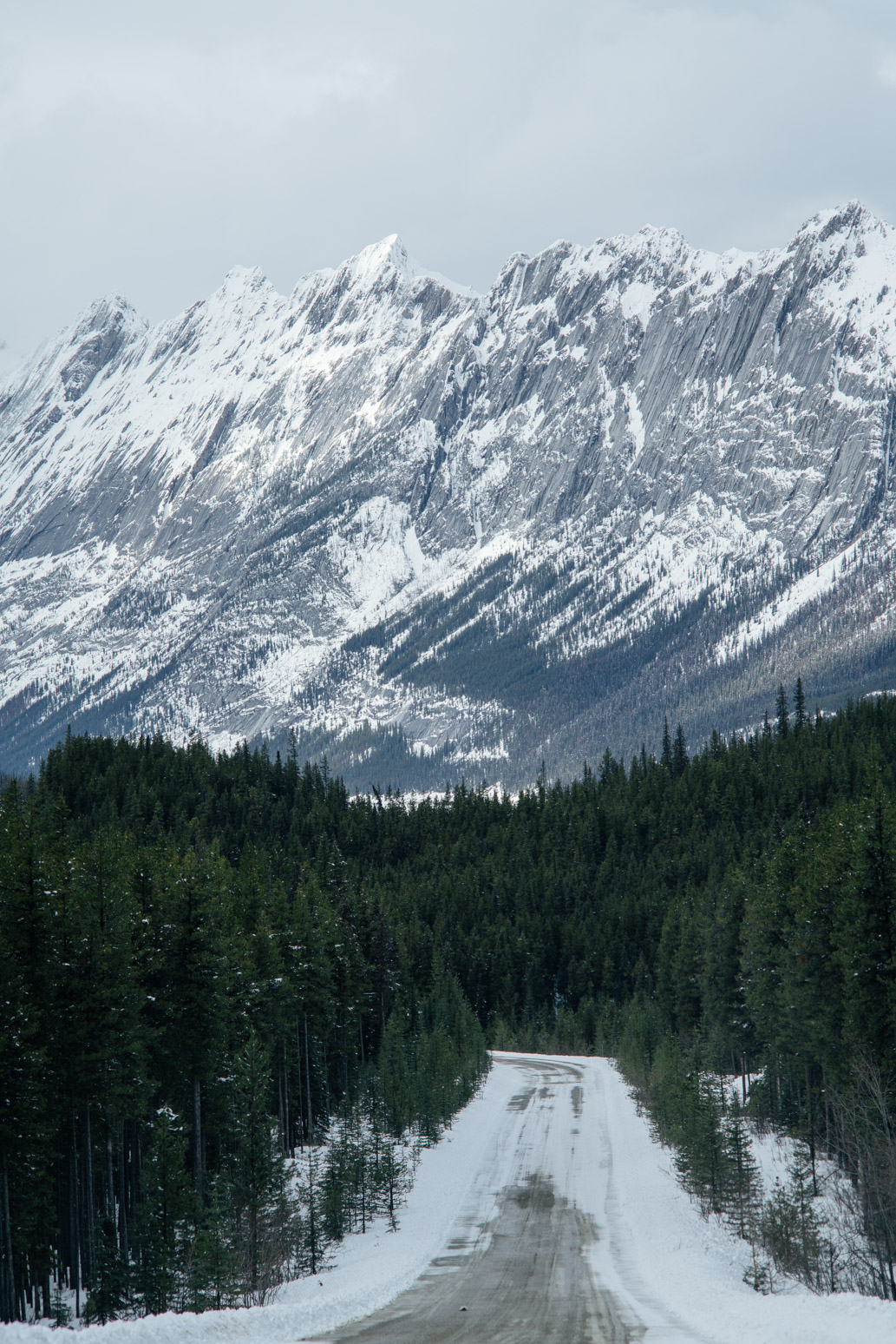
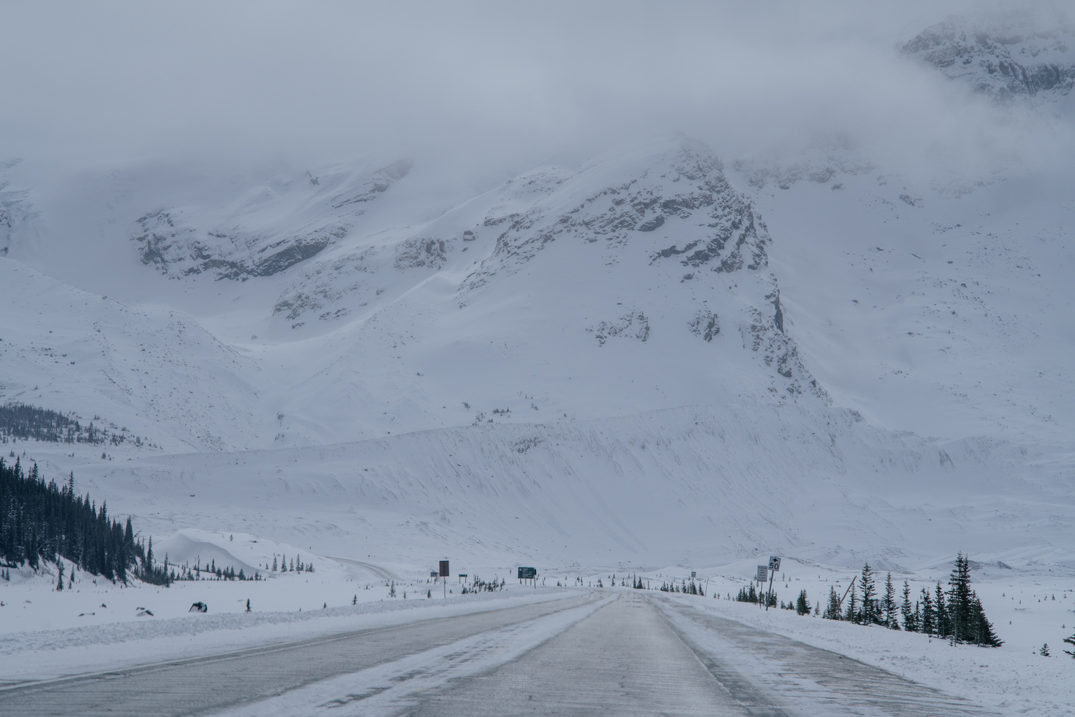
Icefield Parkway. Looks like avalanche is possible here.
Icefield Parkway.
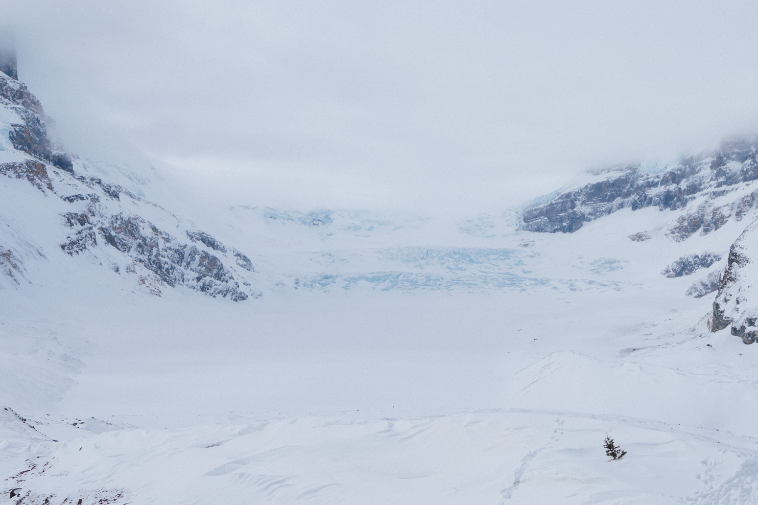
Well, we were able to see Athabasca Glaciers on our way back…
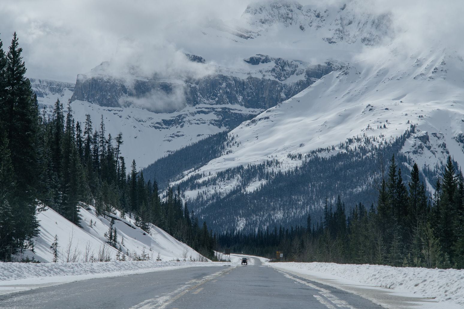
Icefield Parkway.